About 10 miles out of town, up the river, is a great trail open to dirt bikes, mountain bikes, equestrians and hikers. About 5 miles up the trail are a few cabins and at one time my step-dad's uncle and cousins owned a couple of them. I remember going up there and 'roughing it' as there was no running water or electricity and only outhouses when nature called. The area is truly remote.
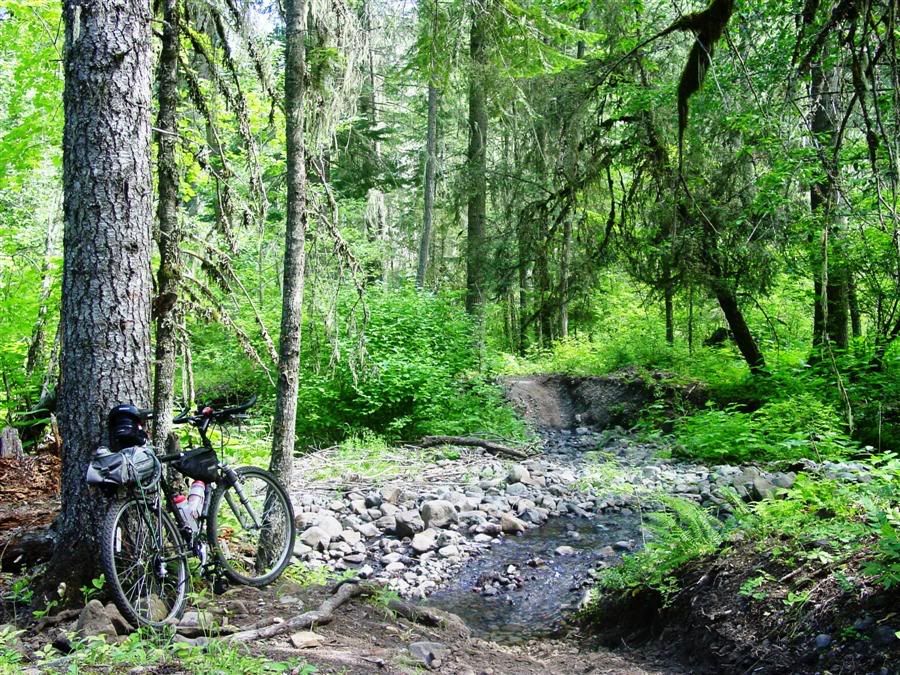
The cabins were sold off years ago, but every few years I like to head up there to check things out. Back in high school, I would ride a dirt bike up. In more recent years I've hiked it (since I no longer have a dirt bike!). On this trip I decided to take my mountain bike.
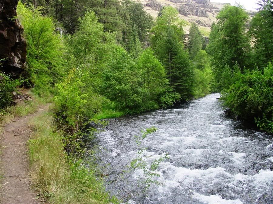
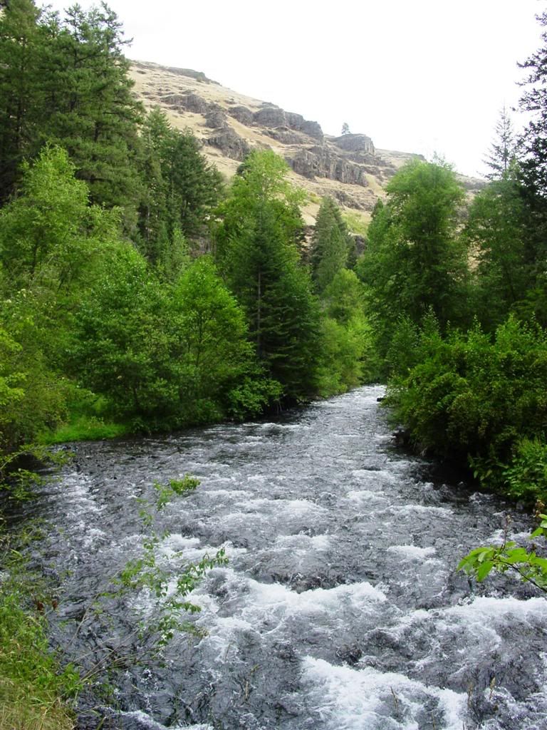
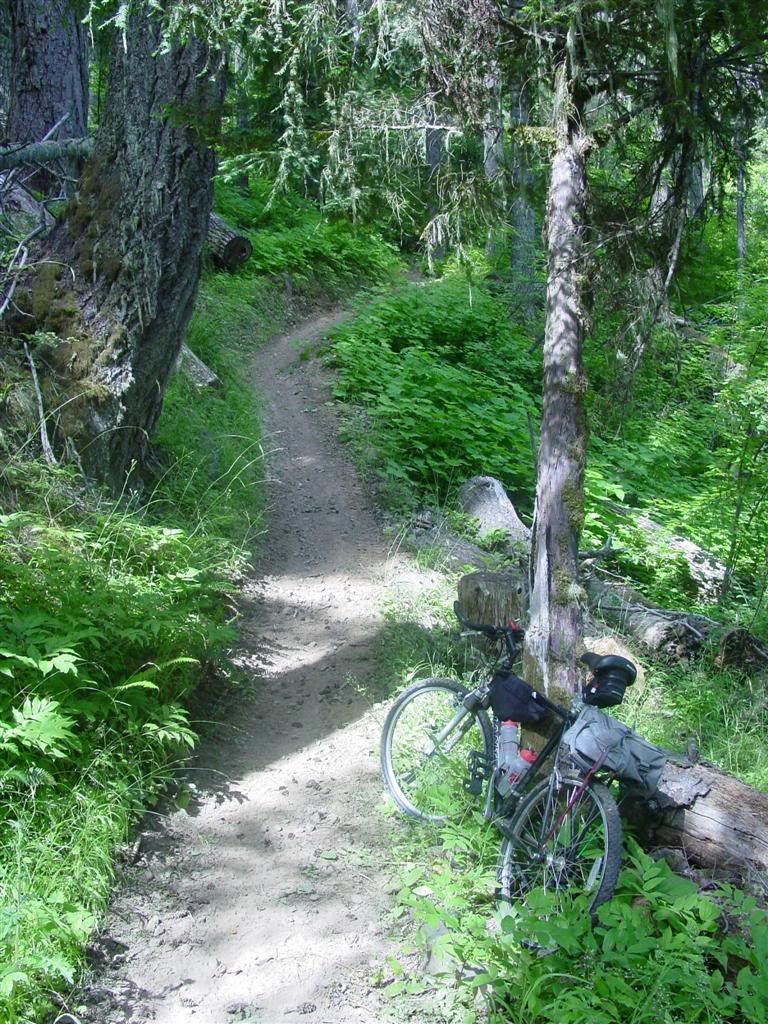
Here are a few pics from my trip.
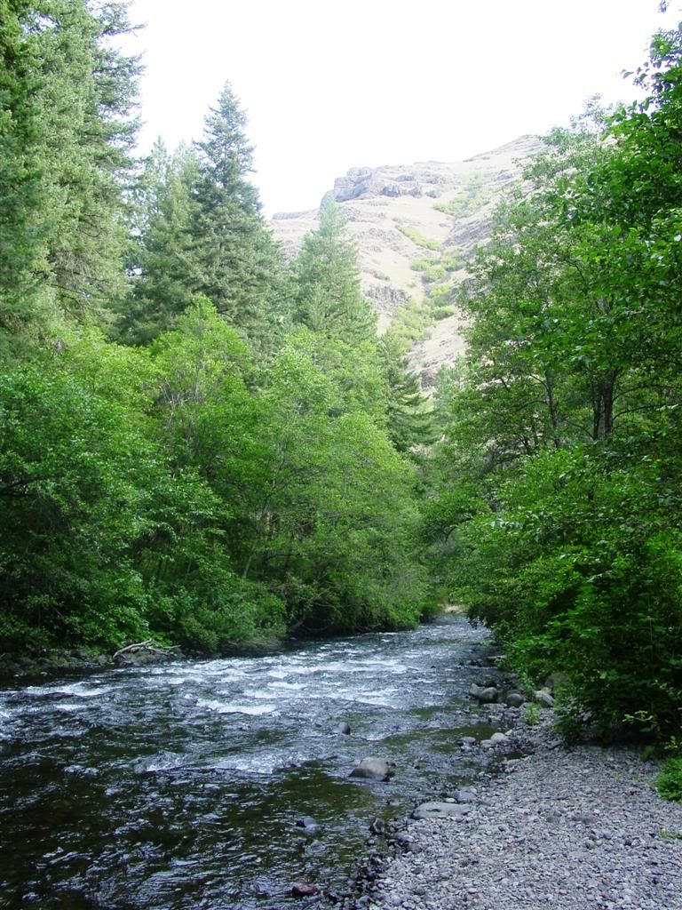
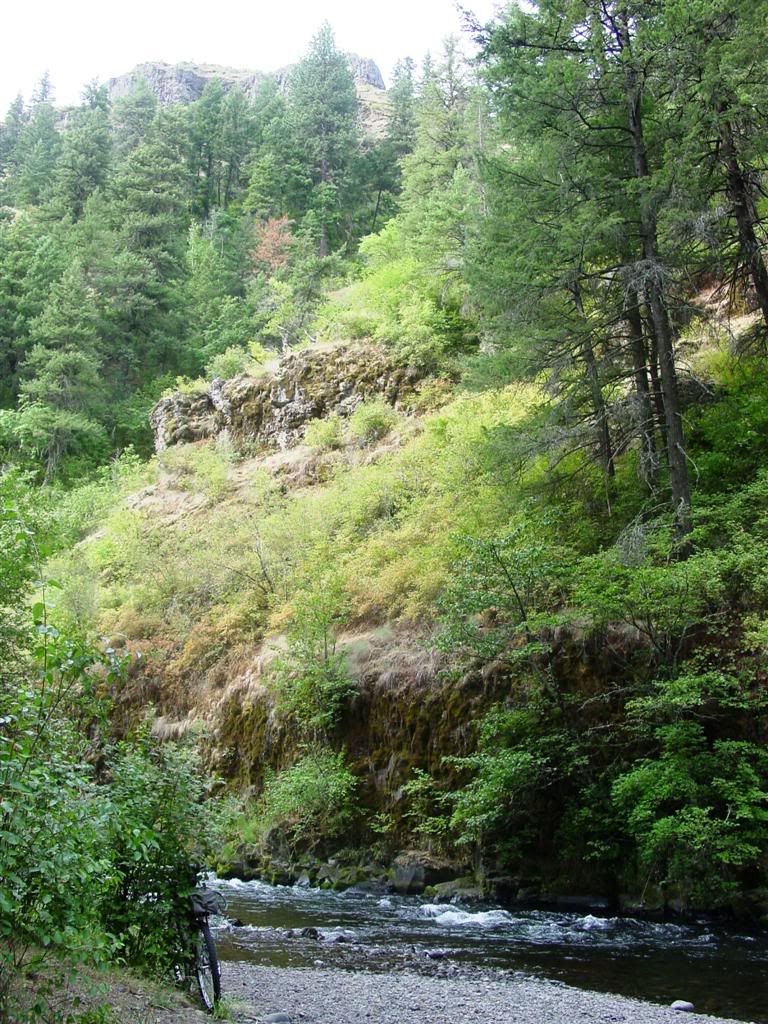
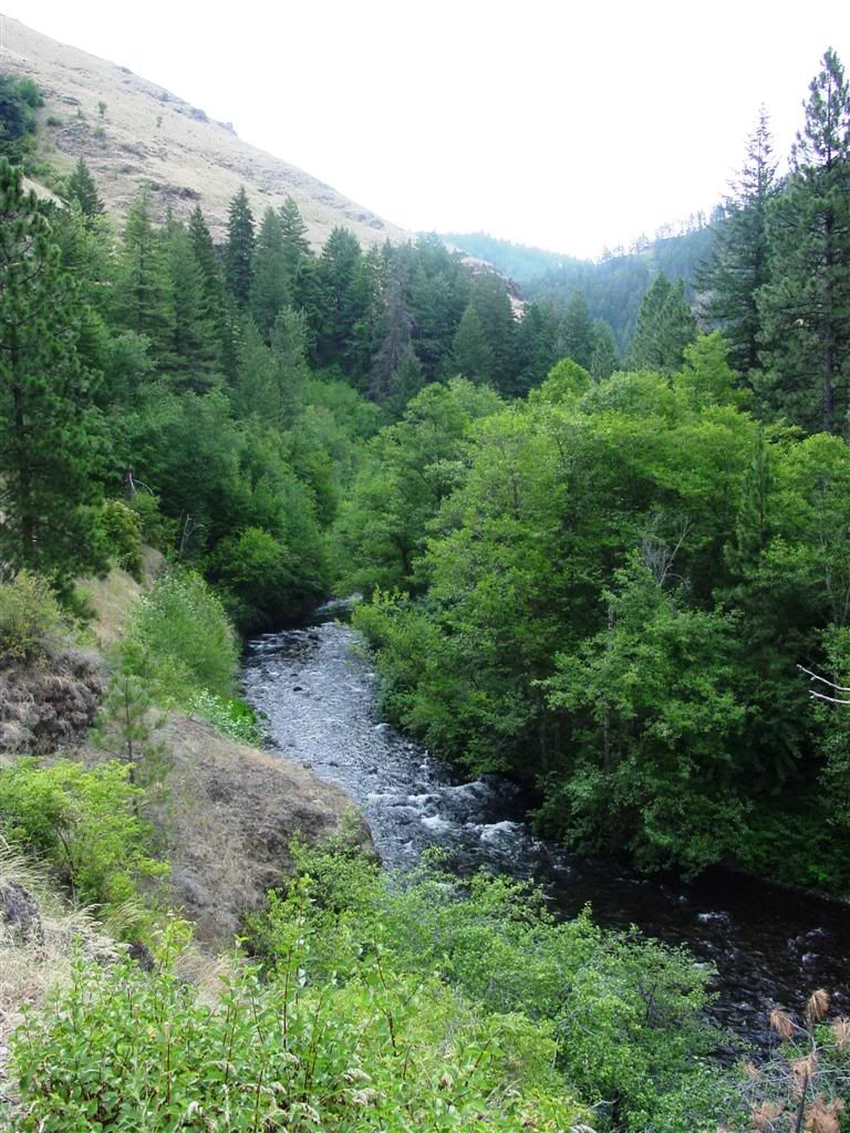
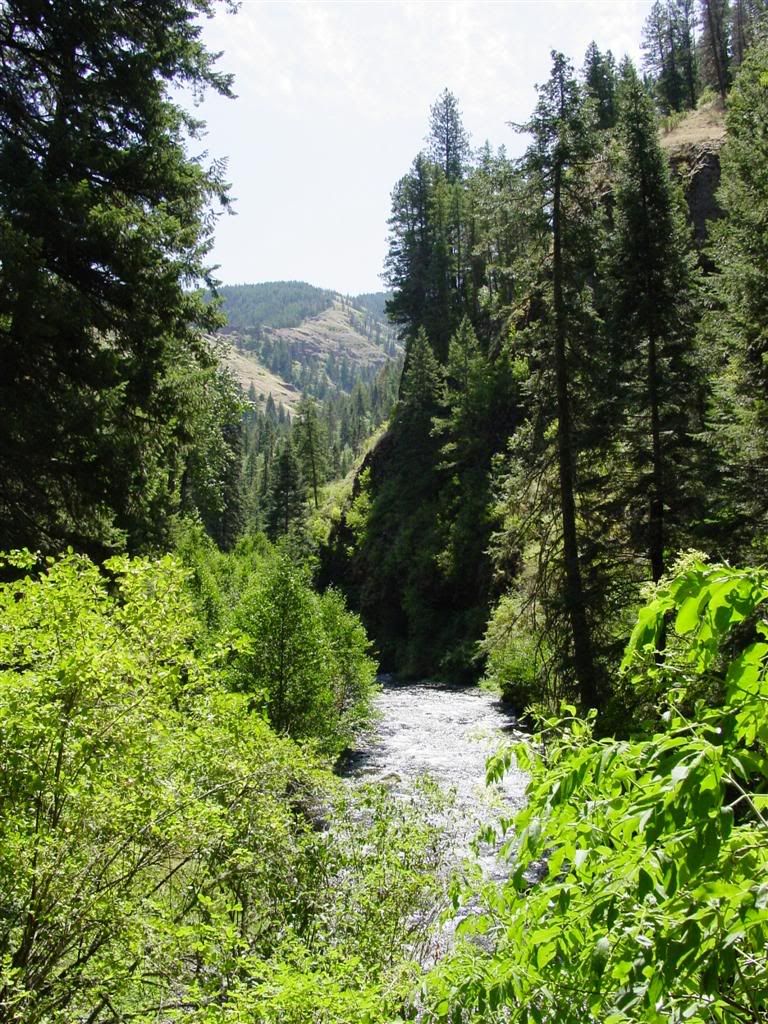
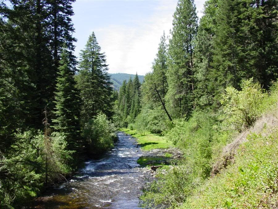
Technically, this is the 'South Fork of the Walla Walla River'.
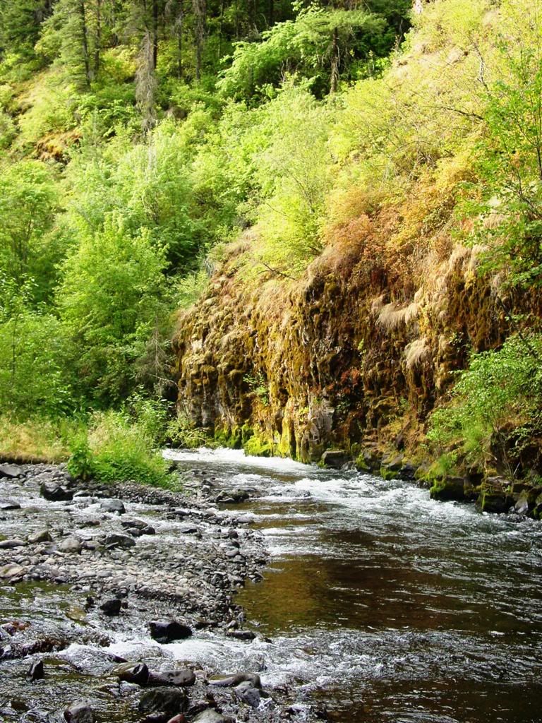
it runs through a fairly narrow canyon this far up.
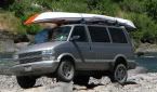
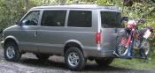
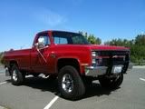
When I was a teen, you could take 4x4s up to the cabins (and beyond). The 4x4 route shared some parts of the hiking/biking trail, but when it got narrow along one side of the river, the 4x4 route crossed the river to the other side. Due to 'environmental concerns' the 4x4 route was shut down many years ago. Now only cabin owners can access this route, and I've heard they have seasonal restrictions as well.
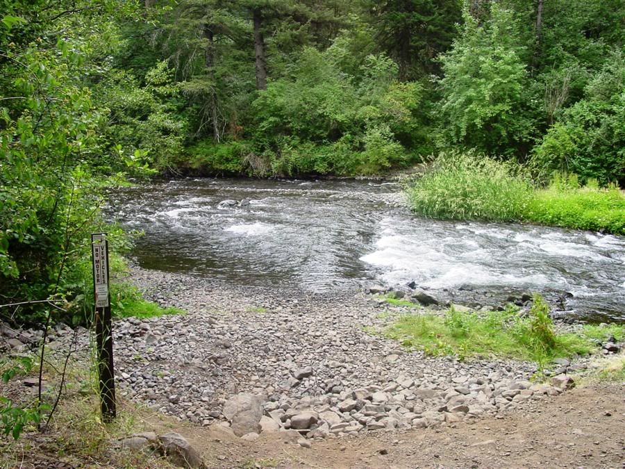
At one time, there were about 13 4x4 river crossings to reach the cabins (and beyond). Most 4x4s back then really weren't capable of crossing this river reliably (especially when the water was high in the spring) and what worked best were WW II era Dodge Power Wagons. My step-dad's relatives had a couple of them they used.
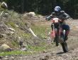
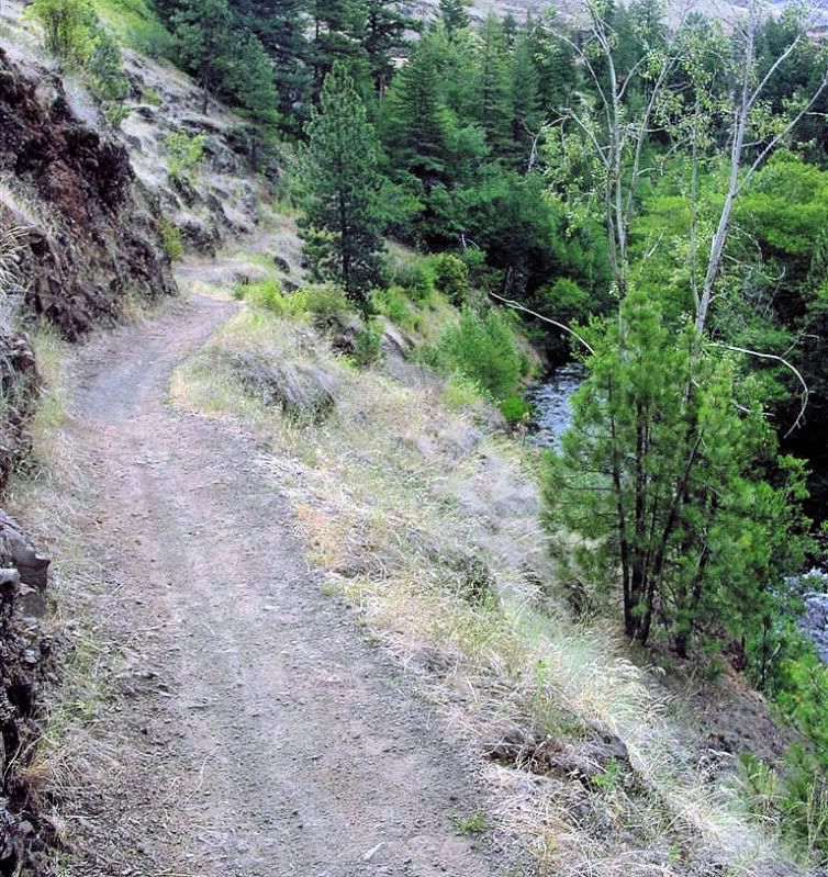
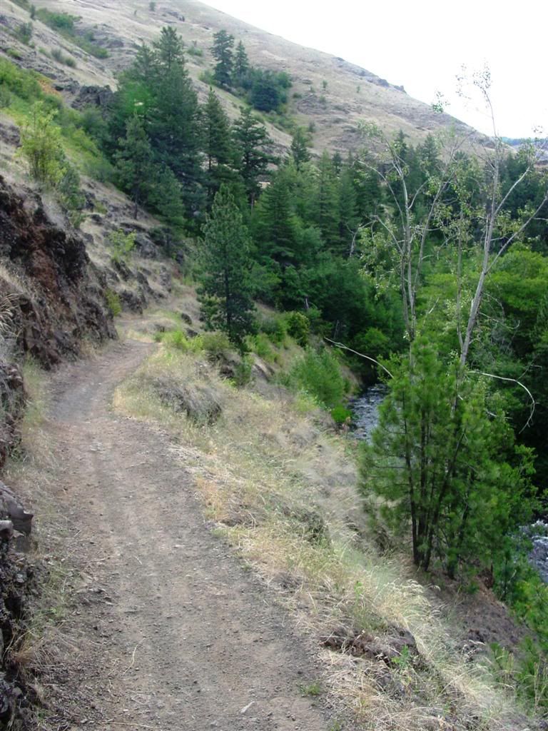
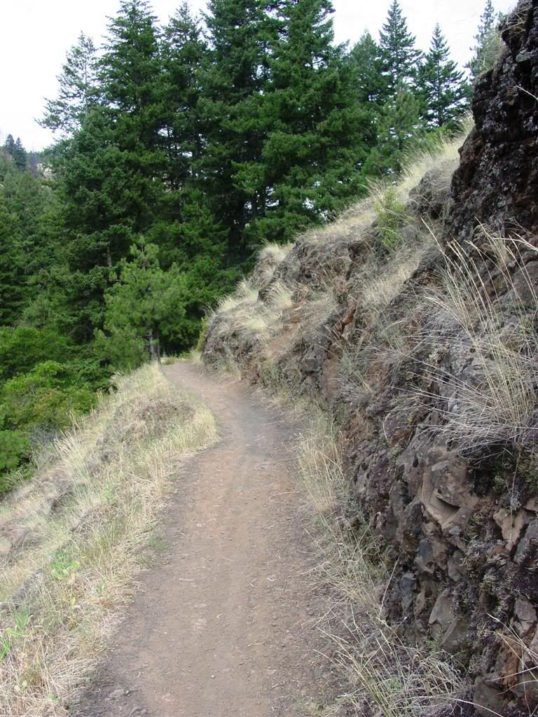
At times, the trail gets pretty high up above the river. This section here makes some of the motorcyclists nervous. One wrong move and it is a quick trip down into the river...
After reaching the cabins, I decided to press on further. I realized in all the years I'd been up there, I'd really never gone much farther up the trail. I'd heard that the trail eventually led up to Target Meadows, which sits at about 5000 ft and is not too far up the road from where our cabin is at Tollgate.
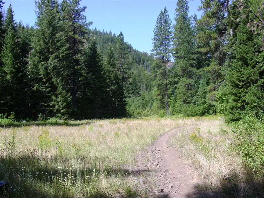
I discovered above the cabins the valley actually widened quite a bit and the trail wandered through this meadow.
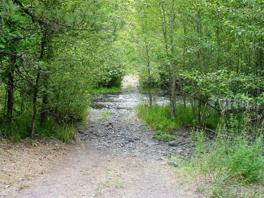
And then the trail actually crossed a stream. (Up to this point, all the water crossings for the hiking/biking trail had bridges. They didn't when I was a kid though.)
And then I reached the end of the line... for me... as while it is hard to tell from this pic, but the trail really starts to climb at this point. I decided that seven miles in... for this old and chubby biker... was far enough. Too bad as Target Meadows was less than three miles away according to the last trail sign I'd seen.
So for Tom... and anyone else in the area... I highly recommend checking this trail out. Hiking it is fine. Mountain Biking it is better. But the best way to check the area out is via dirt bike or dual sport. Along with the trail leading up to Target Meadows, I found two other trails that head off in other directions that need to be followed....